March 30
Park City ridge
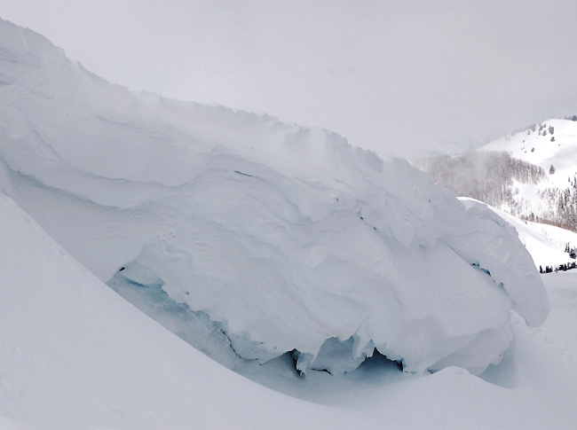
The Park city ridgeline hadn't been visited for a while so the tour began at lower Solitude, ascending to the rop of West Monitor bowl through Willow Heights.At the ridge, several very large cornices were dicovered,

the result of heavy repeated snowfall and the prevailing westerly winds.
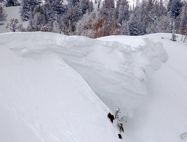
The snow on the northeast facing was already off, mashed potatoes under a coupla inches of overnight snowfall. The area had seen morning sun the day before, cooking the old surface layering. A wet point release had occurred from a slight change in aspect.
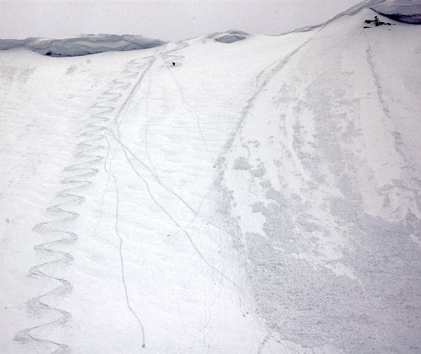
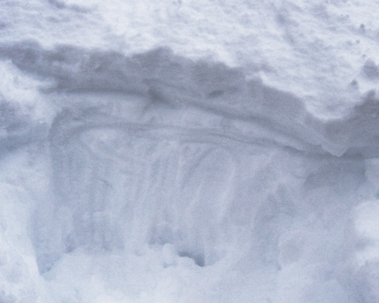
A quick handpit confirms a stout, though only one finger crust, overlying yesterday's 12".
Weather:
Clear and sunny in the morning with a upper elevation cloud deck from mid morning through the rest of the day. Winds were light. Temperatures moderate.
Snow:
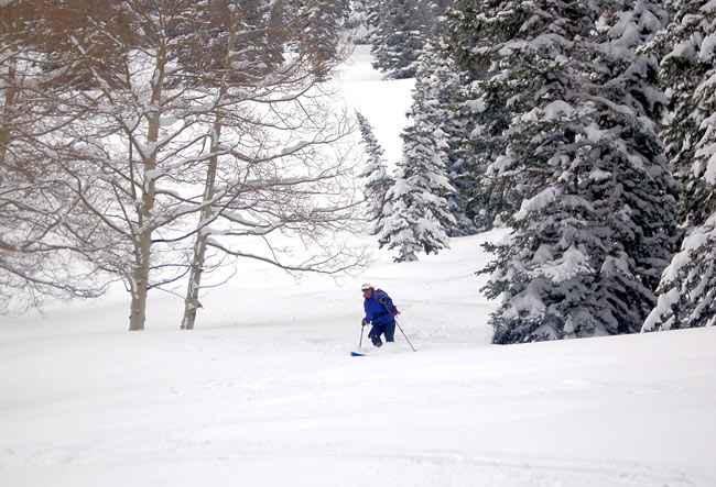
West facing had not received the heating and remained of the creamy variety into the late afternoon. Mid and lower elevations had a breakable crust under 4 inches of lighter density snow. The snow under the crust was damp but remained soft. The exit in the late afternoon was through a softened crust. Best tool for the day on the Park City ridges would be a snowboard.
Bottom Line:
Unfortunately, the snow was stable. Any future hazard would be from daytime heating. I’d expect most activity to be within upper snow layering as was noted on the east facing. Continued warm temperatures could possibly heat the snow below the prevalent crust, sliding at the next lower crust layer or over a foot in depth. Would expect, given the current weather forecast, this would not be the case, with point releases, sluffing and rollers to be the result of heating. No evidence of active wind drifted layers, although wind effects were not uncommon.
copyright wowasatch.com